-
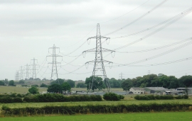
Farmland with pylons south of Aldridge, Walsall
-
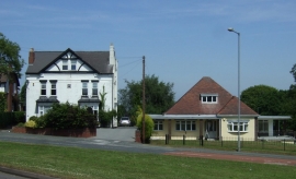
Houses on Barr Common Road
Farmland with pylons south of Aldridge, Walsall
Houses on Barr Common Road
Location and coordinates are for the approximate centre of Barr Common within this administrative area. Geographic features and populated places may cross administrative borders.