-
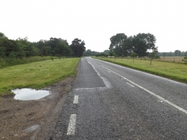
A1088 Thetford Road, Euston
-
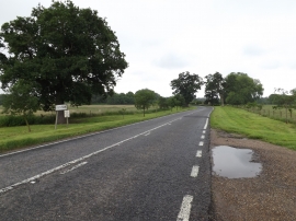
Entering Euston on the A1088 Thetford Road
A1088 Thetford Road, Euston
Entering Euston on the A1088 Thetford Road
Location and coordinates are for the approximate centre of Barnham Carr within this administrative area. Geographic features and populated places may cross administrative borders.