-
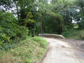
Trigger's Hill Bridge over the Beaford Brook
-
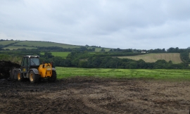
Farm work in progress north of Trigger's Hill
Trigger's Hill Bridge over the Beaford Brook
Farm work in progress north of Trigger's Hill
Location and coordinates are for the approximate centre of Barne's Plantation within this administrative area. Geographic features and populated places may cross administrative borders.