-
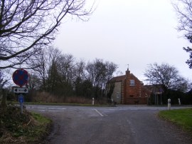
Junction with the A12
-
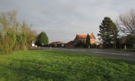
House, Barnaby Green
Junction with the A12
House, Barnaby Green
Location and coordinates are for the approximate centre of Barnaby Green within this administrative area. Geographic features and populated places may cross administrative borders.