-
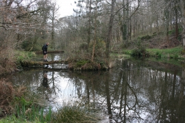
Ponds below Garlandhayes
-
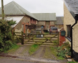
Little Garlandhayes
Ponds below Garlandhayes
Little Garlandhayes
Location and coordinates are for the approximate centre of Barn Plantation within this administrative area. Geographic features and populated places may cross administrative borders.