-

Footpath from South End Lane passing through Barn Fall Wood
-
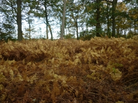
Lost in the woods
Footpath from South End Lane passing through Barn Fall Wood
Lost in the woods
Location and coordinates are for the approximate centre of Barn Fall Wood within this administrative area. Geographic features and populated places may cross administrative borders.