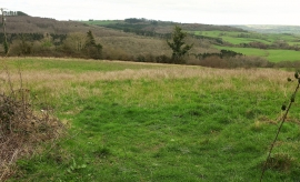
Barn Close Coppice, Dorset

« Gazetteer Entry
Upload Photo

Barn Close Coppice, Dorset

  • Parish/Community: Mapperton
  • District/Borough: West Dorset
  • County: Dorset
  • Region: South West
  • Category: Landcover
  • Type: Forest or Wood
  • Latitude/Longitude: 50°47'36"N 2°41'24"W
  • Eastings/Northings: 351447, 99564
  • OS Grid: SY514995
  • Mapcode Local: GBR ML.ZB8F
  • Mapcode Global: FRA 567Z.ZPB

Location and coordinates are for the approximate centre of Barn Close Coppice within this administrative area. Geographic features and populated places may cross administrative borders.

BritishPlaceNames.uk is a Good Stuff website.