-

Bridleway junction in Duncton Hanger
-
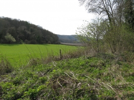
Downland view from bridleway near Duncton Mill
Bridleway junction in Duncton Hanger
Downland view from bridleway near Duncton Mill
Location and coordinates are for the approximate centre of Barlavington Hanger within this administrative area. Geographic features and populated places may cross administrative borders.