-
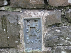
Ordnance Survey Flush Bracket G4925
-
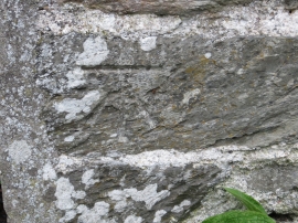
Ordnance Survey Cut Mark
Ordnance Survey Flush Bracket G4925
Ordnance Survey Cut Mark
Location and coordinates are for the approximate centre of Barbrook within this administrative area. Geographic features and populated places may cross administrative borders.