-
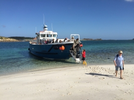
Alighting on Samson
-
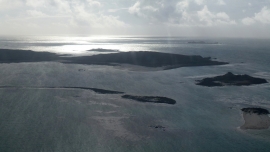
North Hill, Samson
Alighting on Samson
North Hill, Samson
Location and coordinates are for the approximate centre of Bar Point within this administrative area. Geographic features and populated places may cross administrative borders.