-
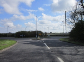
The roundabout on the A157 at Bar Plantation
-
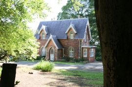
North Lodge
The roundabout on the A157 at Bar Plantation
North Lodge
Location and coordinates are for the approximate centre of Bar Plantation within this administrative area. Geographic features and populated places may cross administrative borders.