-
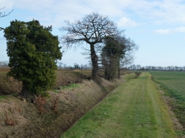
Land meets sand on Willow Hall Lane
-
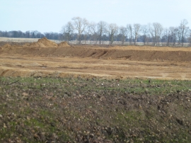
Sand and gravel excavation between Thorney and Eye
Land meets sand on Willow Hall Lane
Sand and gravel excavation between Thorney and Eye
Location and coordinates are for the approximate centre of Bar Pastures within this administrative area. Geographic features and populated places may cross administrative borders.