-
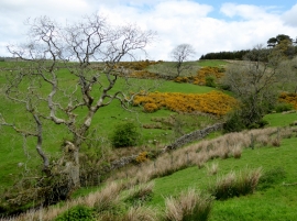
Rough pasture under Leck Fell
-
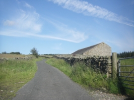
Fellside Barn on the Leck Fell road
Rough pasture under Leck Fell
Fellside Barn on the Leck Fell road
Location and coordinates are for the approximate centre of Bank Wood within this administrative area. Geographic features and populated places may cross administrative borders.