-

Bend in road near Bangry Bottom
-
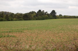
Farmland near Minster Lovell in May
Bend in road near Bangry Bottom
Farmland near Minster Lovell in May
Location and coordinates are for the approximate centre of Bangry Bottom within this administrative area. Geographic features and populated places may cross administrative borders.