-

Farm track & footpath
-
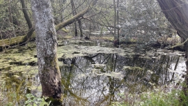
Woodland at Kiln Green
Farm track & footpath
Woodland at Kiln Green
Location and coordinates are for the approximate centre of Balsans Copse within this administrative area. Geographic features and populated places may cross administrative borders.