-
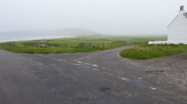
Minor road junction
-
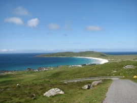
Balephuil Bay from Carnan Mor
Minor road junction
Balephuil Bay from Carnan Mor
Location and coordinates are for the approximate centre of Balephuil within this administrative area. Geographic features and populated places may cross administrative borders.