-
A53 at Baldwin's Gate
-
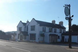
The Sheet Anchor - Baldwin's Gate
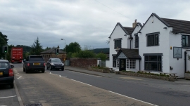
A53 at Baldwin's Gate
The Sheet Anchor - Baldwin's Gate
Other current and historical names
Location and coordinates are for the approximate centre of Baldwin's Gate within this administrative area. Geographic features and populated places may cross administrative borders.