-
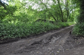
Teignbridge : Country Track
-
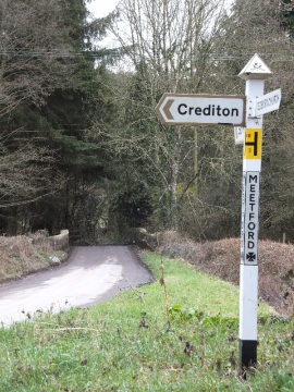
Meetford Cross and Meetford Bridge
Teignbridge : Country Track
Meetford Cross and Meetford Bridge
Location and coordinates are for the approximate centre of Baldhill Copse within this administrative area. Geographic features and populated places may cross administrative borders.