-
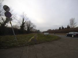
Mount Lane at the junction of Oxford Road
-
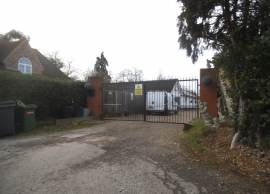
Farm entrance on Mount Lane
Mount Lane at the junction of Oxford Road
Farm entrance on Mount Lane
Other current and historical names
Location and coordinates are for the approximate centre of Baker's Wood within this administrative area. Geographic features and populated places may cross administrative borders.