-
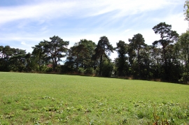
Trees along Golford road
-
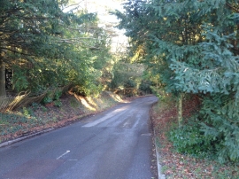
Tilsden Lane, near Cranbrook
Trees along Golford road
Tilsden Lane, near Cranbrook
Location and coordinates are for the approximate centre of Baker's Cross within this administrative area. Geographic features and populated places may cross administrative borders.