-

Lane Near Marchington Woodlands
-
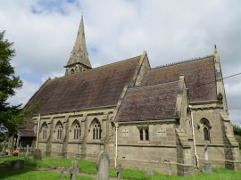
The Church of St John at Smithy Hill
Lane Near Marchington Woodlands
The Church of St John at Smithy Hill
Location and coordinates are for the approximate centre of Bagot Forest within this administrative area. Geographic features and populated places may cross administrative borders.