-
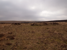
Enclosure Earthworks, Badgworthy Hill
-
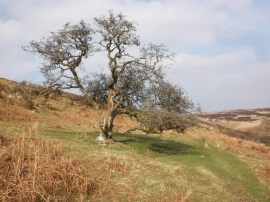
Isolated tree, Hoccombe
Enclosure Earthworks, Badgworthy Hill
Isolated tree, Hoccombe
Location and coordinates are for the approximate centre of Badgworthy Hill within this administrative area. Geographic features and populated places may cross administrative borders.