-
A Burrow in Winter
-
New Year's Day in the Woods
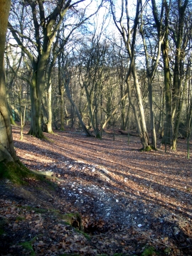
A Burrow in Winter
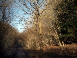
New Year's Day in the Woods
Location and coordinates are for the approximate centre of Badgerpits within this administrative area. Geographic features and populated places may cross administrative borders.