-
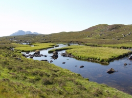
Islands in the Little Gruinard River
-
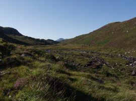
Little Gruinard River
Islands in the Little Gruinard River
Little Gruinard River
Location and coordinates are for the approximate centre of Bad Laoghach within this administrative area. Geographic features and populated places may cross administrative borders.