-
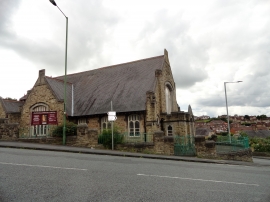
Blackhill Baptist Church
-
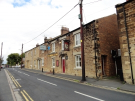
The Miners Arms
Blackhill Baptist Church
The Miners Arms
Location and coordinates are for the approximate centre of Backstone Burn Wood within this administrative area. Geographic features and populated places may cross administrative borders.