-
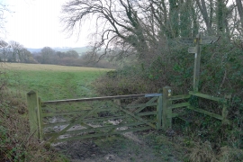
The Monarch's Way parting from the Wessex Ridgeway
-
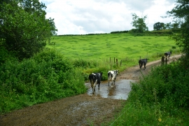
Westover Farm Ford
The Monarch's Way parting from the Wessex Ridgeway
Westover Farm Ford
Location and coordinates are for the approximate centre of Backside Coppice within this administrative area. Geographic features and populated places may cross administrative borders.