-
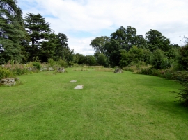
The site of the church at Jervaulx Abbey
-
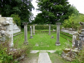
Chapter House, Jervaulx Abbey
The site of the church at Jervaulx Abbey
Chapter House, Jervaulx Abbey
Location and coordinates are for the approximate centre of Back Walk Plantation within this administrative area. Geographic features and populated places may cross administrative borders.