-

Nettles in a field entrance
-
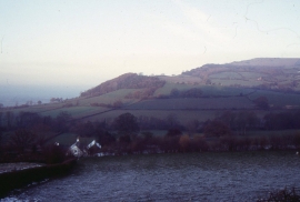
Looking towards Merbach Hill, from above Newton
Nettles in a field entrance
Looking towards Merbach Hill, from above Newton
Location and coordinates are for the approximate centre of Bach Dingle within this administrative area. Geographic features and populated places may cross administrative borders.