-
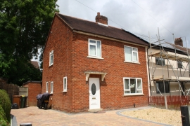
#22 Staining Avenue
-
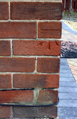
Benchmark on #22 Staining Avenue
#22 Staining Avenue
Benchmark on #22 Staining Avenue
Location and coordinates are for the approximate centre of Ashton Bank within this administrative area. Geographic features and populated places may cross administrative borders.