-
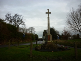
The Ash Magna War Memorial
-
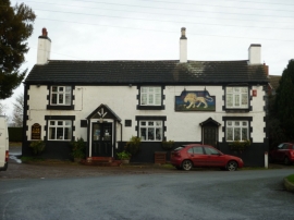
The White Lion, Ash Magna
The Ash Magna War Memorial
The White Lion, Ash Magna
Other current and historical names
Location and coordinates are for the approximate centre of Ash Magna within this administrative area. Geographic features and populated places may cross administrative borders.