-

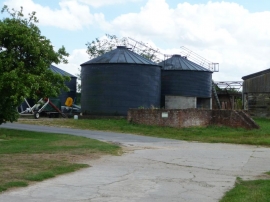
Road to Metheringham Airfield Visitor Centre
-
Second World War airfield blast shelter
Road to Metheringham Airfield Visitor Centre
Second World War airfield blast shelter
Location and coordinates are for the approximate centre of Ash Holt within this administrative area. Geographic features and populated places may cross administrative borders.