-
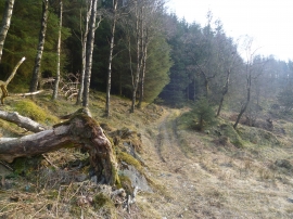
Path through the Plantations
-
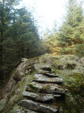
Ascending Black Brows
Path through the Plantations
Ascending Black Brows
Location and coordinates are for the approximate centre of Ash Close Wood within this administrative area. Geographic features and populated places may cross administrative borders.