-
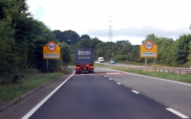
Separated carriageways, A40, Pencraig
-
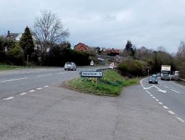
Entering Pencraig on the A40
Separated carriageways, A40, Pencraig
Entering Pencraig on the A40
Location and coordinates are for the approximate centre of Ash Bed within this administrative area. Geographic features and populated places may cross administrative borders.