-
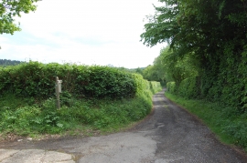
Bridleway at the end of Lakehurst Lane
-

Rough hawkbit near Ashburnham Forge
Bridleway at the end of Lakehurst Lane
Rough hawkbit near Ashburnham Forge
Location and coordinates are for the approximate centre of Anderson's Wood within this administrative area. Geographic features and populated places may cross administrative borders.