-
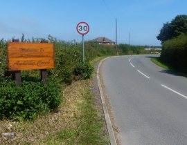
Sea Road at Anderby Creek
-
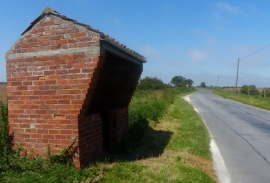
Brick shelter along Roman Bank
Sea Road at Anderby Creek
Brick shelter along Roman Bank
Location and coordinates are for the approximate centre of Anderby within this administrative area. Geographic features and populated places may cross administrative borders.