-

Minor road from Dalavich to Kilchrenan
-
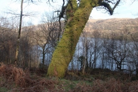
Loch Awe at Rubh' an Eoin
Minor road from Dalavich to Kilchrenan
Loch Awe at Rubh' an Eoin
Location and coordinates are for the approximate centre of An Cnap within this administrative area. Geographic features and populated places may cross administrative borders.