-
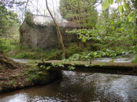
Nant Bran River, Cwmhiraeth
-
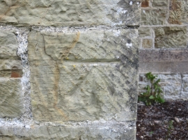
Ordnance Survey Cut Mark
Nant Bran River, Cwmhiraeth
Ordnance Survey Cut Mark
Location and coordinates are for the approximate centre of Allt y Dinas within this administrative area. Geographic features and populated places may cross administrative borders.