-
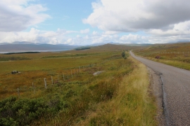
A838 crosses wide open moor above Loch Shin
-
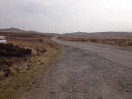
A838 near Loch Shin
A838 crosses wide open moor above Loch Shin
A838 near Loch Shin
Location and coordinates are for the approximate centre of Allt na Caorach Plantation within this administrative area. Geographic features and populated places may cross administrative borders.