-
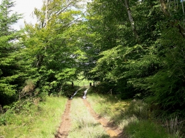
Bridleway and gate back to Llidiad Nenog
-
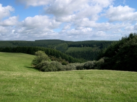
Forest & Banc farm fields
Bridleway and gate back to Llidiad Nenog
Forest & Banc farm fields
Location and coordinates are for the approximate centre of Allt Fâch within this administrative area. Geographic features and populated places may cross administrative borders.