-
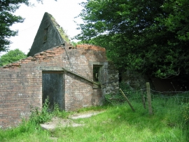
Ffermdy Man - Goed Farmhouse, Pontarsais
-
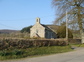
Chapel at Llanllawddog
Ffermdy Man - Goed Farmhouse, Pontarsais
Chapel at Llanllawddog
Location and coordinates are for the approximate centre of Allt Derlwyn within this administrative area. Geographic features and populated places may cross administrative borders.