-
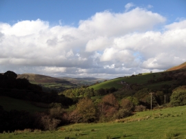
Above Crugnant
-
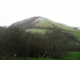
The north-north-east ridge of Pen y Waun-fawr
Above Crugnant
The north-north-east ridge of Pen y Waun-fawr
Location and coordinates are for the approximate centre of Allt Ddu within this administrative area. Geographic features and populated places may cross administrative borders.