-

Field below Allt Tirisaf
-
House in the Twyi valley
Field below Allt Tirisaf
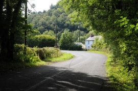
House in the Twyi valley
Location and coordinates are for the approximate centre of Allt Beili-glas within this administrative area. Geographic features and populated places may cross administrative borders.