-
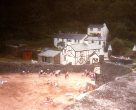
Readymoney Cove Cornwall in 1988
-
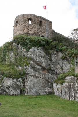
St Margaret's Castle
Readymoney Cove Cornwall in 1988
St Margaret's Castle
Location and coordinates are for the approximate centre of Allday's Fields within this administrative area. Geographic features and populated places may cross administrative borders.