-
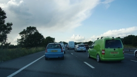
Standing traffic on the M6
-
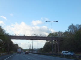
Disused railway bridge over M6 west of Keele services
Standing traffic on the M6
Disused railway bridge over M6 west of Keele services
Location and coordinates are for the approximate centre of Aldersey's Rough within this administrative area. Geographic features and populated places may cross administrative borders.