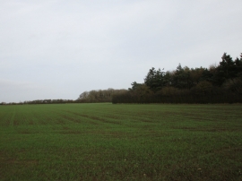
Aldermen's Gorse, East Riding of Yorkshire

« Gazetteer Entry
Upload Photo

Aldermen's Gorse, East Riding of Yorkshire

  • Parish/Community: Brandesburton
  • Unitary Authority: East Riding of Yorkshire
  • Region: Yorkshire and the Humber
  • Category: Landcover
  • Type: Forest or Wood
  • Latitude/Longitude: 53°55'26"N 0°19'2"W
  • Eastings/Northings: 510588, 448845
  • OS Grid: TA105488
  • Mapcode Local: GBR VR72.23
  • Mapcode Global: WHHFY.3M3N

Location and coordinates are for the approximate centre of Aldermen's Gorse within this administrative area. Geographic features and populated places may cross administrative borders.

BritishPlaceNames.uk is a Good Stuff website.