-
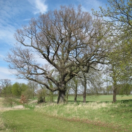
Trees near the lane, Marks Hall Estate
-
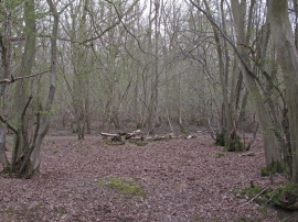
Bungate Wood, Marks Hall Estate
Trees near the lane, Marks Hall Estate
Bungate Wood, Marks Hall Estate
Location and coordinates are for the approximate centre of Aldercar within this administrative area. Geographic features and populated places may cross administrative borders.