-

Worsted Lane East Grinstead
-
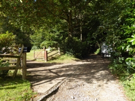
Bridleway goes west past Wood Cottage
Worsted Lane East Grinstead
Bridleway goes west past Wood Cottage
Location and coordinates are for the approximate centre of Alder Shaw within this administrative area. Geographic features and populated places may cross administrative borders.