-
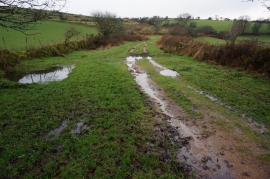
Bridleway heading Northwest towards Ball Gate
-
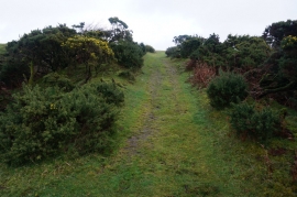
Bridleway from Ball Gate
Bridleway heading Northwest towards Ball Gate
Bridleway from Ball Gate
Location and coordinates are for the approximate centre of Aishridge Plantation within this administrative area. Geographic features and populated places may cross administrative borders.