-
61 Miles From London
-

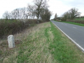
Old Milepost
61 Miles From London
Old Milepost
Location and coordinates are for the approximate centre of Agden Green within this administrative area. Geographic features and populated places may cross administrative borders.