-
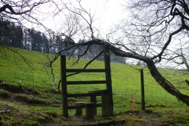
Camfa, Allt y Gigfran / Stile, Allt y Gigfran
-
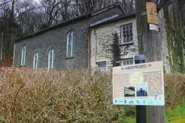
Hen Gapel, Abermeurig / Old Chapel,Abermeurig
Camfa, Allt y Gigfran / Stile, Allt y Gigfran
Hen Gapel, Abermeurig / Old Chapel,Abermeurig
Location and coordinates are for the approximate centre of Abermeurig within this administrative area. Geographic features and populated places may cross administrative borders.